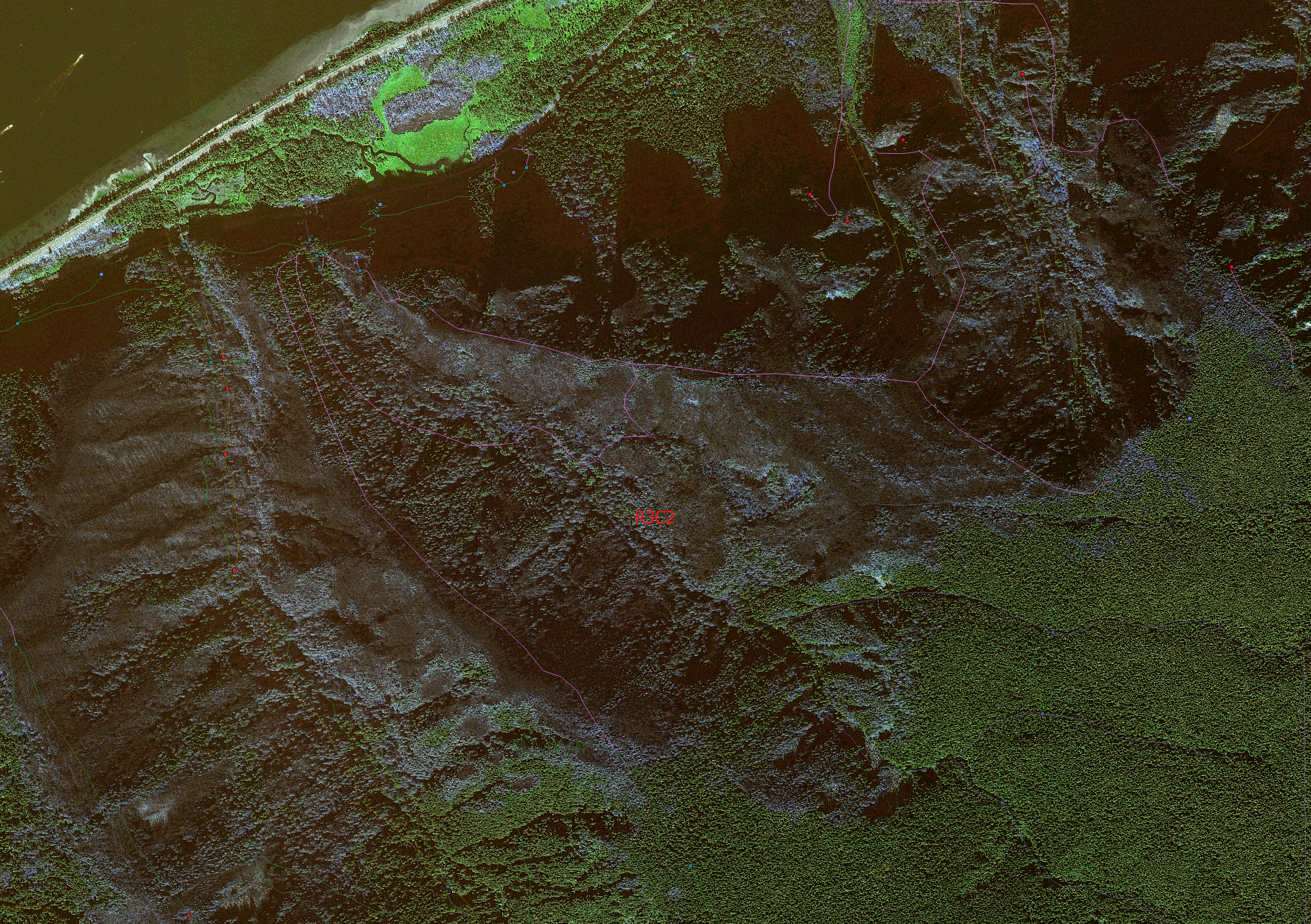
This week I completed a long FREE project to help provide The Multnomah County Sheriff’s Department and local Search And Rescue better geospatially referenced imagery for the September Eagle Creek Fire that devastated the Columbia Gorge Scenic area. There had been a lot of low helicopter and drone flights by other organizations like ODOT and In Situ out of Hood River but no one had yet to compile a complete georeferenced overview map of the entire fire perimeter. Digital Globe was kind enough to donate very expensive orthorectified imagery for the area and I spent several days brightening the imagery, cropping it to the fire extent and converting it all to Google Earth tiles that would be easy for Sgt. Mark Herron (SAR Cooridinator) to work with. It came out great and in a month or two Digital Globe and I will work on putting together a blog post about the volunteer work I completed. 🙂
Eagle Creek Satellite Imagery Work for SAR

