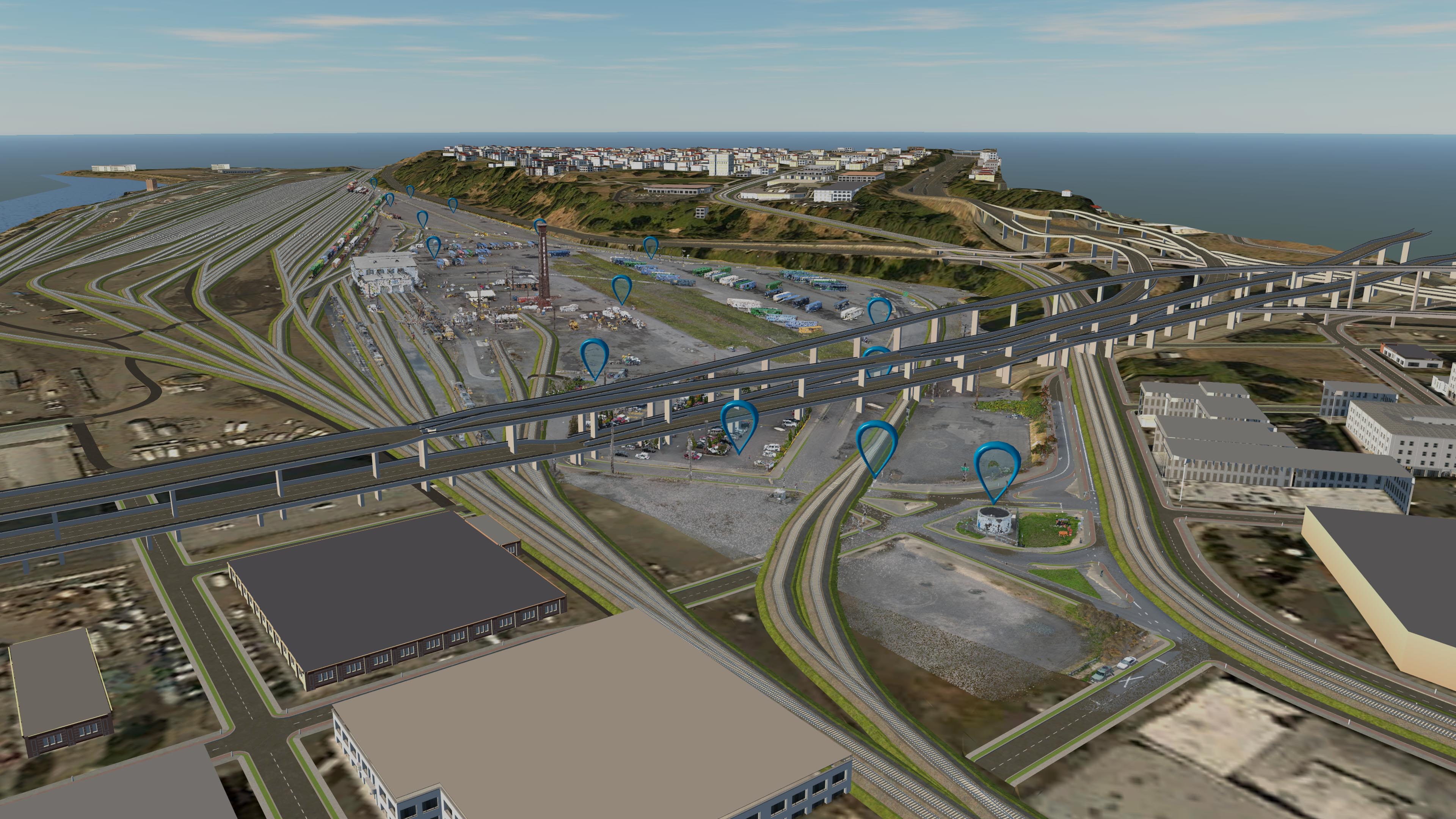
This week I flew my most challenging project yet, a Union Pacific Railway Yard for a local engineering firm. There were multiple challenges for this project as the AOI was over a mile in length, it was bordering class C airspace with local helipads nearby, precise accuracy specs needed to be met and I had to map under the very large I-405 bridge for the entrance to the yard. Because of an NDA in place with the engineering firm I cannot talk about the purpose of the aerial mapping beyond some of the specs I was able to meet. This project took an entire day to acquire in combination with laying out air target control with Mike Magyar from Magyar Land Surveying. We laid out 11 well-distributed air targets throughout the site with the aid of a Union Pacific Railway employee who guided us safely throughout the lot. I flew about 7 missions from just outside the yard parking lot, just barely able to see the drone at the furthest point of capture. It was a cold afternoon and I had to actually keep the drone batteries warm by keeping the next ones in line in my armpits during flight!

All flights went off without a hitch. I even got an extra flight off orbiting around the brick Union Pacific historic chimney on site to later make a model of it. See below.
As you can see from the above image and the ones below I was also able to successfully capture all the ground underneath the I-405 Fremont bridge. This meant flying very carefully around the bridge and angling the gimbal to capture all the surface under the bridge. I also had to time the weather so that deep shadows would not complicate post-processing in Pix4D as well. Below you can see the model I built in CAD software for the site. The blue pins are where I used an air target to georeference the dataset with survey-grade accuracy. The following images are from the same viewpoint in the software with the roads and then the railway 3D objects taken out, leaving only the final point cloud that I created.


And one final shot of where the I-405 Bridge usually obstructs view of the surface from traditional aerial data collection from planes. This is a great use-case for UAV acquisition benefits!

In the end I had to split this into and then combine multiple Pix4D projects as well as learn how to convert 2gb raster Tifs down to highly compressed JPEGs as well as downsample a 144 million point photo-derived point cloud into something small enough to create a surface in Civil3D. Needless to say this project was a huge learning experience. Yes, I went over budget but it is also the data set I most proud of so far as TLT Photography. 🙂

