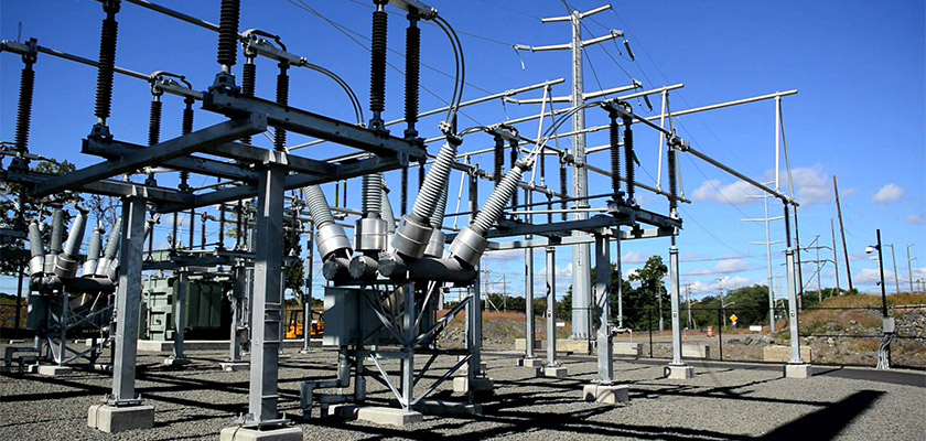
Today one of my partners flew an electrical substation so I could compare what could be modeled with modern photogrammetry software vs the quality achieved by a terrestrial scanner. Based on everything I have leaned in my career this is a a job for LiDAR, not photogrammetry. Photogrammetry is spectacular in horizontal accuracy for surfaces, suffers from innacuracies in vertical modeling (with the exception of hard surfaces which I’ve proven to rival LiDAR) but it is traditionally poor when it comes to modeling very thin lines such as with the telecomunications or electrical utility industries. Everyone, and I mean EVERYONE uses LiDAR for these applications. I wasn’t shy about expressing these views to my partner as well but they flew it anyway as a test. I spent several days running the small 184 frame dataset through Pix4D with various settings and finally came up with a combination of settings that clearly delineates the lines. Yes, there is a fair amount of noise, but as I always ask my clients… what can you live with. If we can produce a photo-derived point cloud for a fraction of the cost and time that it would take for a UAV liDAR survey can the client live with a noisy model so long as it is accurate? That’s the big question that will need to be decided. If the answer is yes, it could work then I believe it will save the client enormously and we will have a new market to tap. That… and the pixel matching algorithms in modern photogrammetry software will only get better over time and automatic classification techniques will improve to clean up the extra noise… this could be promising….
Substation 3D Modeling


2 thoughts on “Substation 3D Modeling”
Very cool John. I just finished flying all 17 of our substations and will have to take a look at the point clouds that I just stashed away in folders.
Hi Jason – I had missed this. Shoot me an email if you want some tips 🙂
Comments are closed.