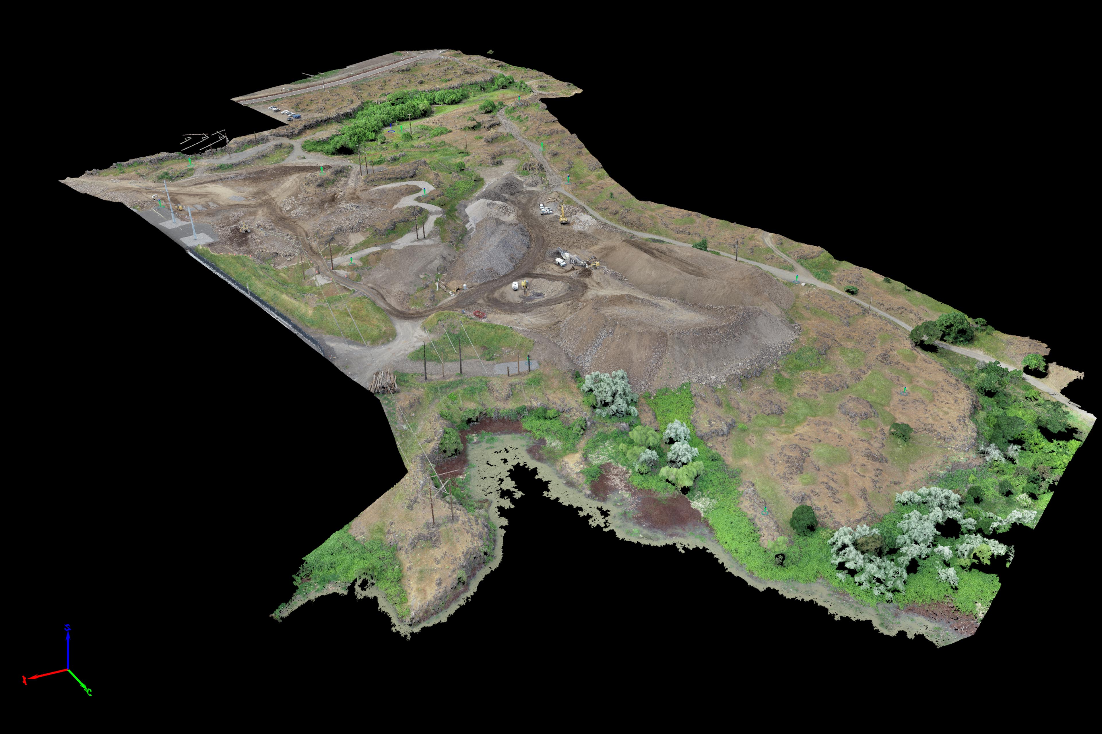
Greg from Statewide Land Surveying of Gresham gave me a call to inquire if I could fly a difficult site for them in The Dalles. The site was surrounded by high power lines as it was next to a large Google Data Center along the Columbia River. There will be new development going on at the site and the plan was to fully capture it in detail before construction begins. There are some very important archeological artifacts on site for the Confederated Tribes of the Umatilla Indian Reservation that needed to be captured with clarity and geospatial accuracy.

After checking out the location thoroughly in Google Maps, Google Earth, and Google Street View (damn, Google’s got everything) I came up with a good game plan for capturing the large 40 acre site. Challenges to flights included the large AOI, shadowing from possible clouds, high winds in the Columbia Gorge and the powerlines. I arrived there bright and early as a representative of SWLS and began setting out air targets with Tim around the site. There was active construction going on so we had an escort from the site as well as observers from the Umatilla Tribe to make sure we only walked in safe areas and didn’t disturb any of the artifacts on site.

We were able to lay out the targets quickly and I was able to complete all Nadir flights by about 11am when the sun finally began to peek out from behind the clouds. This was about the same time the winds really began to howl down the Columbia Gorge preventing any further safe acquisition.
Because this site contains sensitive information about Umatilla archaeological site locations I haven’t posted an interactive 3D model publicly but I did produce a short fly-over animation of the site that doesn’t contain any geospatial information below for people to check out. Thanks to Greg for the opportunity and once again it was an absolute pleasure chatting with the Umatilla Tribe representatives and showing them some of the data that I produce from Aerial UAV capture.

